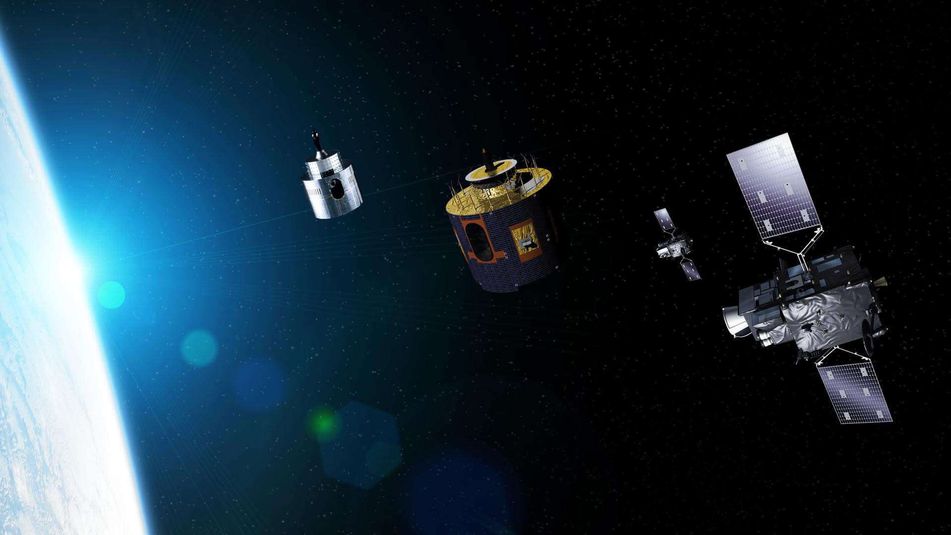
Europe's most modern meteorological satellite is ready for operation. The Center for Hydrometeorology and Monitoring reports that Meteosat-12, the first of Eumetsat's third-generation geostationary satellites, has entered full operation.
This is an essential and welcome boost to the World Meteorological Organization (WMO) members to predict hazardous and more hazardous weather conditions and monitor climate change.Meteosat-12's two main instruments are the combined thermal imager and the thunderstorm imaging sensor.
Providing accurate and high-resolution data enables more precise prediction of hazardous meteorological phenomena, ensuring the protection of people's lives and livelihoods.
Data from the Meteosat-12 instruments are being transmitted to the National Weather Service and other organizations for operational use. They are expected to impact weather forecasting and "understanding" our climate significantly.
The new generation satellite will continuously collect weather forecast data from the geostationary orbit for 20 years. This significantly increases the meteorological imaging capabilities and provides new measurement capabilities to obtain real-time images of thunderstorm centers, which is new for European weather satellites. :
The image scanner enables you to create images of rapidly changing situations. It scans the entire globe in just 10 minutes, and in the future, it will scan Europe and North Africa every 2.5 minutes.
In addition to significantly improving the quality of meteorological satellite imagery in Europe, Meteosat−12 will improve observational capabilities in Africa, where in situ observations or other types of remote sensing are largely unavailable.
HOC promotes open access and use of satellite data and products on weather, climate, water resources, space weather, and related programs by its member countries.


