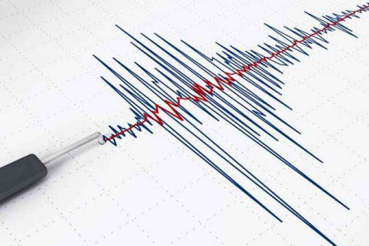


On May 2, at 09:12 local time (05:12 GMT), the seismological network of the Seismic Protection Territorial Service of the Ministry of Internal Affairs of the Republic of Armenia recorded a magnitude 2.0 earthquake at a depth of 10 km, 12 km south of the city of Gavar, Armenia, with geographical coordinates of 40.24⁰ north latitude and 45.10⁰ east longitude.
The intensity of the underground tremor in the epicenter zone was 2-3 points.
The earthquake, which had a magnitude of 2 points, was felt in the villages of Yeranos and Sarukhan in the Gegharkunik region.