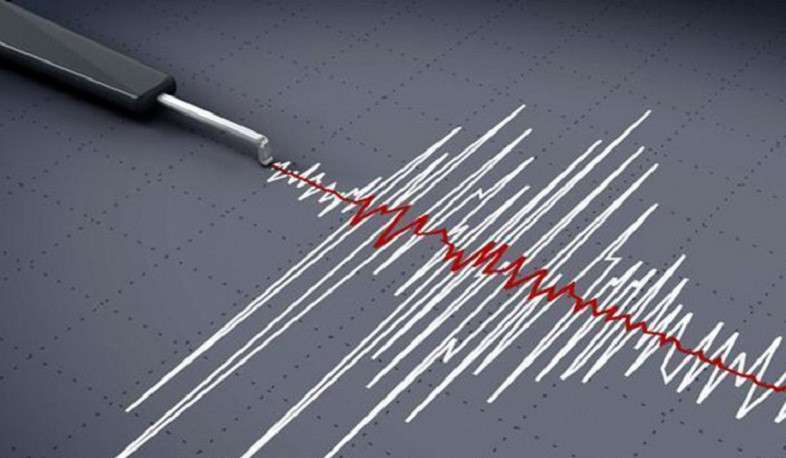


On March 21, at 05:03 local time (01:03 GMT), the seismological network of the Seismic Protection Territorial Service of the RA Ministry of Internal Affairs recorded a magnitude 3.7 earthquake at a depth of 10 km, 8 km north of the city of Spitak, Armenia, at geographical coordinates of 40.90⁰ north latitude and 44.27⁰ east longitude.
The intensity of the tremor in the epicenter zone was 5 points.
The earthquake was felt in the Lori region, with a magnitude of 4 points, the Shirak region, with a magnitude of 3-4 points, and the Aragatsotn region, with a magnitude of 2-3 points.